How to Use the Random US State Generator
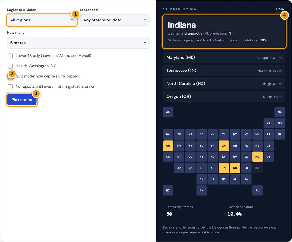
- Choose a Census region or division, or all regions.
- Tick Quiz mode to hide capitals until tapped.
- Press Pick states for a new draw.
- Read the state, its capital, abbreviation, region and statehood year.
Press Pick states to draw random states. The first pick shows its capital, two-letter postal abbreviation, Census region and division, and the year it became a state. Other picks are listed below, and all of them light up in gold on the tile map, with the rest of the matching states shaded blue.
Use the filters to focus the draw. Choose a region such as the Midwest or a smaller division such as New England, limit the pick to the original 13 states or to states admitted after 1900, or tick Lower 48 only for road trip planning. Washington, D.C. is left out by default because it is a federal district, not a state, but you can add it. Tick Quiz mode to hide capitals, or No repeats to work through every state once, which is handy for assigning states to a class.
US Census Regions and Divisions
The US Census Bureau groups the states into four regions and nine divisions. This tool uses that official grouping, so "South" includes Delaware, Maryland and West Virginia, and "Midwest" includes Kansas and the Dakotas.
| Region | Divisions | States |
|---|---|---|
| Northeast | New England, Middle Atlantic | 9 |
| Midwest | East North Central, West North Central | 12 |
| South | South Atlantic, East South Central, West South Central | 16 |
| West | Mountain, Pacific | 13 |
| Total | 9 divisions | 50 |
How the Random Pick Works
The generator filters the states, shuffles them with your browser's cryptographic random source using the Fisher-Yates method, and shows the first few. No state appears twice in one draw, and every matching state has the same chance.
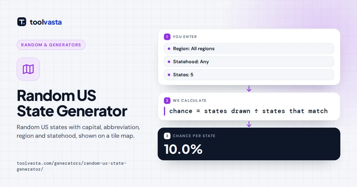
Worked example: picking 5 states from all 50 gives each state a 5 ÷ 50 = 10% chance. Picking 5 from the 13 states of the West gives each one 5 ÷ 13 = 38.5%. The six New England states with 5 picks give 5 ÷ 6 = 83.3%.
Statehood Periods
The original 13 states joined the Union by ratifying the Constitution between Delaware, first on December 7, 1787, and Rhode Island in 1790. Vermont became the 14th state in 1791. Twenty states joined from 1791 to 1860 as the country pushed west, twelve more from 1861 to 1900, and the last five after 1900: Oklahoma (1907), New Mexico and Arizona (1912), and Alaska and Hawaii (1959).
Ideas for Using a Random State
- Geography practice: turn on Quiz mode and name each capital before tapping.
- Class projects: set How many to 50 with No repeats ticked, and give each student a different state.
- Road trips: pick from the Lower 48 or one division to choose your next destination.
- Games: license plate games, trivia nights and drawing a state from memory.
Capitals that often trip people up include Albany (not New York City), Sacramento (not Los Angeles), Springfield, Illinois (not Chicago) and Tallahassee (not Miami). The tile map is a stylized grid, so neighboring squares are close to, but not always exactly, the real borders. Learn more about the regions on the US Census Bureau website.
Postal Abbreviations
Each state shows its two-letter USPS postal abbreviation, the code used on mail, forms and maps. These codes were standardized in 1963 and are always two capital letters with no periods. A few are easy to mix up: MI is Michigan, not Mississippi (MS) or Missouri (MO), and AK is Alaska, while AR is Arkansas and AZ is Arizona.
The abbreviations also appear on the tile map, which arranges every state as an equal square in roughly its real position. That makes small states such as Rhode Island and Delaware as easy to spot as Texas or California, which is useful for quizzes and classroom displays.
Frequently asked questions
How do I pick a random US state?
Press Pick states. The generator shuffles all 50 states with a secure random source and shows the first ones, each with its capital, abbreviation, region and statehood year.
Can I pick a random state from one region?
Yes. Choose the Northeast, Midwest, South or West, or one of the nine Census divisions such as New England or Pacific, and only states from that area can be drawn.
Is Washington, D.C. included?
Not by default, because Washington, D.C. is a federal district rather than a state. Tick Include Washington, D.C. to add it to the pool, and it appears in the South region with the South Atlantic division.
What are the four US Census regions?
The Census Bureau groups the states into four regions: the Northeast with 9 states, the Midwest with 12, the South with 16 and the West with 13. These are split into nine smaller divisions such as New England.
How does the quiz mode work?
Quiz mode hides each capital behind a Tap to reveal button. Read the state name, say the capital, then tap to check whether you were right.
Can I draw every state once without repeats?
Yes. Tick No repeats and the generator remembers which states it has already drawn in this session. It only starts over after every matching state has come up.